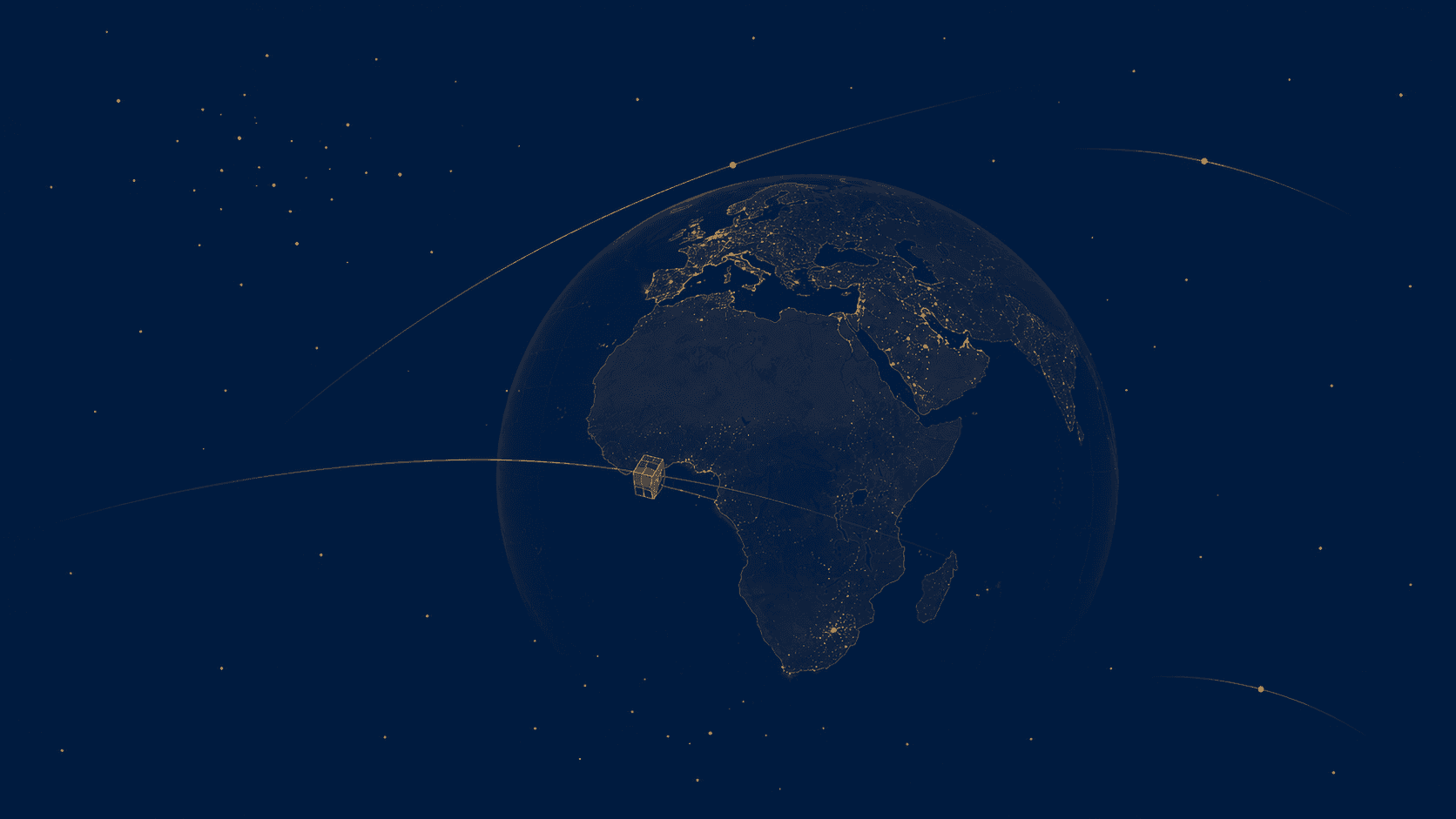
An Ivorian satellite orbits above our heads
Let's take a second to digest that. A nanosatellite designed and built in Ivory Coast — not assembled, not externally funded, built — is currently orbiting the Earth. YAM-SAT-CI 01 photographs our forests, our roads, our coastlines. Five years ago, that sentence would have sounded like science fiction in Abidjan.
And yet, here we are.
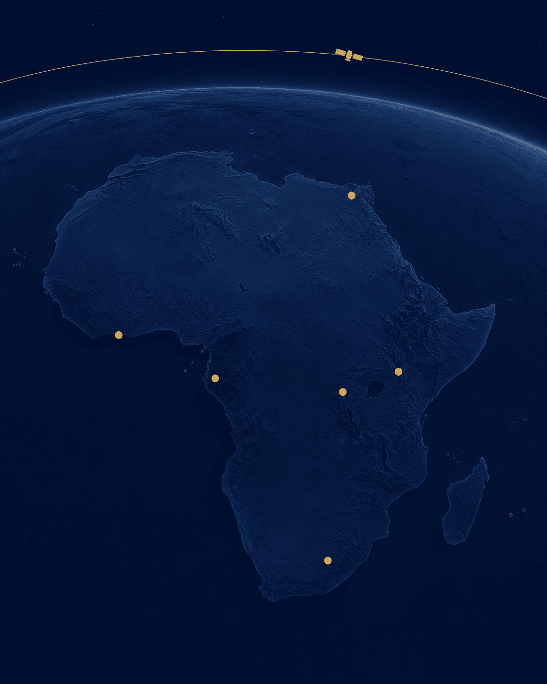
September 2026: Abidjan hosts African space
From September 24 to 26, the Abidjan Exhibition Center will host ASPEX 2026 — the Africa Space Expo. Decision-makers, researchers, industrialists, investors. The who's who of continental space in a city nobody associated with space three years ago.
The question is no longer "can Ivory Coast do space?" but "what role does it want to play?" The official answer: continental hub. Not rocket builder. Solutions integrator. That's a smart choice.
Africa's space industry is expected to reach 39.52 billion USD by 2030, growing at an annual rate of 7.97%. — Space in Africa
Why it's the right bet
There's a truth few people in African space dare to say clearly: we don't need to build launchers to be relevant. What the continent desperately lacks isn't satellites. It's people who can turn satellite data into something useful.
A satellite that photographs deforestation is fine. A system that sends an alert to the prefect of Daloa when 50 hectares vanish in a week — that's better. This downstream value chain is exactly where Ivory Coast is positioning itself.

The 4 priorities of the YAM-SAT-CI 01 satellite
| Domain | Application | Expected impact | |---|---|---| | 🌳 Deforestation | Real-time forest cover monitoring | Early alerts to authorities | | 🌾 Agriculture | Multispectral crop imagery | Yield optimization | | 🌊 Disasters | Flood and fire detection | Rapid crisis response | | 🛡️ Security | Territory surveillance | National sovereignty |
The training card
Montpellier. That's the partner chosen to train the first Ivorian space engineers. I have mixed feelings about this. On one hand, it's pragmatic — Montpellier has the expertise, the labs, the track record. On the other, it raises questions about technical dependency.
The real victory will be the day UVCI or INP-HB train their own satellite engineers, with curricula designed for the African context. Not a copy of a European program, but one that integrates our realities:
- Intermittent connectivity — no fiber optics everywhere
- Solar power — inherently unstable
- Imperfect field data — no standardized ground truth
"The future profession of African space is not that of satellite builders. It is that of builders of downstream value chains."
What about us, the developers?
Let me be direct. If you're a developer in Ivory Coast and you haven't looked into geospatial yet, you're missing something. African space in 2030 won't be built by astronauts. It will be built by people who know how to:
- Manipulate GeoTIFFs and Sentinel-2 imagery
- Train classification models on local data
- Deploy satellite data APIs at scale
- Build decision interfaces for non-technical users
ASPEX 2026 is an entry point. Not to sit and listen to keynotes. To ask uncomfortable questions, show prototypes, and get known by the people making decisions.
The satellite is up there. The code — that's what we write down here.
Further reading: